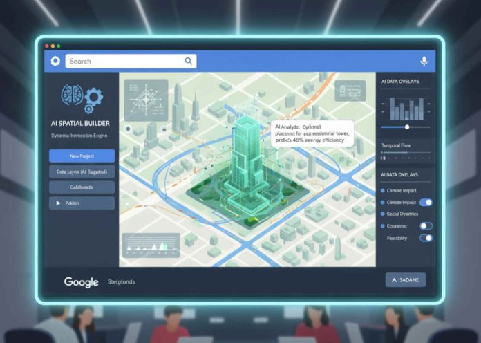
What Does Google Maps’ AI Powered Interactive Project Builder Offer?
Google Maps has unveiled a new AI enabled toolkit that empowers users to design immersive, location based projects directly on the platform. The latest update introduces capabilities such as drag and drop storytelling, real time spatial customization, and interactive layer integration. These tools utilize geospatial data parsing, semantic mapping, and contextual metadata rendering to create personalized maps and experiences.
How Does AI Enhance Custom Map Creation on Google Maps?
Artificial Intelligence embedded within Google Maps facilitates natural language understanding to allow users to input goals or project themes conversationally. The system processes queries using Named Entity Recognition, linking phrases like “historic cafés in Paris” to geolocated business entities, reviews, time based data, and user generated content. Semantic clustering groups related locations, enabling AI to recommend optimal storytelling sequences across physical space.
What Type of Projects Can Users Create with the New Tools?
Users can build educational tours, historical timelines, local business journeys, event planning guides, or tourism experiences. The system supports multimedia embedding such as videos, audio narration, and image galleries within geo tagged layers. Each map layer represents a data driven entity connected to contextually linked sub entities like user preferences, time of day, and event history.
How Are Interactivity and Collaboration Enabled?
The updated platform supports real time collaboration similar to Google Docs, allowing multiple contributors to design and modify spatial projects. Interactive modules let users include quizzes, callouts, timeline sliders, and story pins. Each user interaction is semantically tracked to personalize future recommendations using machine learning algorithms aligned with user behavioral patterns.
What Technologies Are Behind This AI Driven Spatial Editor?
The feature operates on a stack combining Google Cloud’s Vertex AI, Maps JavaScript API, and the Places API. Transformer based models analyze spatial text prompts, converting them into coordinates, vector layers, and route graphs. AI models are trained to identify semantic relations among locations such as cultural proximity, temporal affinity, or economic relevance, thus enabling coherent narrative structuring across spaces.
How Does the Update Affect Local SEO and Business Discoverability?
The new tools integrate with Google Business Profiles, allowing businesses to embed their locations into thematic storylines and project maps. By semantically associating services with tour types like “Eco friendly cafes near nature trails” businesses benefit from improved contextual discoverability.
How Do Interactive Projects Support Enhanced Local Visibility?
Maps projects tagged with local business entities, user reviews, and hyperlocal keywords are indexed via Google’s Entity Based Indexing systems. This boosts visibility in location based queries and voice search environments. Businesses appearing in such curated experiences gain both authority and trust signals from proximity based user engagement metrics.
How Can Businesses Optimize for Inclusion in User Projects?
Businesses can enhance their profiles with rich metadata including opening hours, historical significance, eco certifications, or cultural affiliations. Structured data aligned with these attributes improves AI parsing during project creation. Reviews and images contribute to multimedia relevance, influencing AI based selection.
What Role Does User Generated Content Play?
User generated maps serve as dynamic content hubs, embedding business listings within narrative contexts. This creates semantically rich backlinks and entity co occurrence signals that reinforce Google’s understanding of business relevance within specific spatial and thematic clusters.
How Will This Impact the Future of Geospatial Content Marketing?
AI powered project tools mark a paradigm shift in how spatial data is consumed and created. The new framework transforms static location data into interactive, meaning driven experiences. This enriches semantic content layers and fosters deeper user engagement through story led discovery.
How Is Narrative Mapping Changing User Behavior?
Users are transitioning from passive map navigation to active spatial storytelling. This behavior shift enhances time on map metrics, interaction depth, and conversion probability. Maps evolve from tools of direction into platforms of exploration and narrative intent.
How Can Brands Leverage Narrative Cartography?
Brands can curate thematic routes like sustainability trails, food tours, or historical expeditions that align with their identity. These thematic maps function as content marketing vehicles, driving emotional engagement through personalized journeys powered by geospatial semantics.
What Are the Implications for Travel, Education, and Journalism?
Educators can design virtual field trips with embedded media. Journalists can map news timelines with geo tagged evidence and witness accounts. Travel companies can offer custom itineraries enriched by user preferences and live event data. These applications broaden the semantic utility of geospatial platforms.
How Does This Tie into the Evolution of the Spatial Web?
The Spatial Web 3.0 hinges on context aware, location based interactions. Google Maps’ AI tools accelerate this shift by linking physical space with narrative intelligence. Semantic data structuring becomes the bridge between human intent and spatial computation, paving the way for intelligent augmented environments.
